As a guide and a passionate fly fisher, I know that hitting the river at the optimum flow levels is critical to success. Over years of fishing my favorite rivers and streams I’ve developed a feel for what river levels generally fish the best and what river levels make the river unsafe or too difficult for wading. I have the USGS real time data from my go to streams bookmarked. Wouldn’t it be nice if the USGS called me when the Little Piney was at the right water levels. Guess what. They will!
The other night I was looking at the USGS real time data for the Little Piney, trying to decide if there was any sense in making the trip to Rolla in a couple of days. I’ve been looking at this and other USGS gauges for years and thought I knew a lot about the available
information. But when I looked the other night I noticed something I had never noticed before on a gauge site. I have no idea how long it has been there. Right below the graph of the flow was a little button. Water Alert.
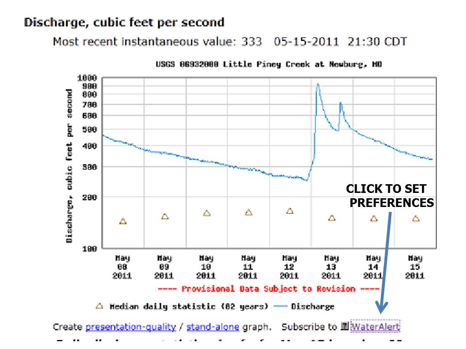
I clicked on it and boy did I find something great. I can get the USGS to call or E-mail me with my user-defined threshold(s). Want to be notified when the flow exceeds some level? Set the limit and the USGS will contact you. Has your fishing history told you that the river fishes best between some range of flows?

Set the range and when the flow level is in that range they will contact you.
How great is that! Now all you have to do is fish often enough to establish you own thresholds. GO FISH!

No comments:
Post a Comment